Quick answer: what this half-day route covers
Before you start: timing is the whole trick
The route is short, but it is built around the Alentejo sun. Start around 9:00 and the climb to the castle lands before midday, while the tower and the streets are still kind. Most stops are quick by design; only the Rua do Sembrano, the Sé and the castle ask for real time.
Treat interiors as a bonus, not a plan. Museu Rainha D. Leonor is currently closed, and several small doors along the way keep changeable hours. None of those closures blocks the route.
The route at a glance
Numbered in walking order, matching the map. Select any stop to jump to it. Distances are map estimates, not measurements.
- 1Jardim Público, a calm start in the shade
- 2Convento de São Francisco, quick exterior stop
- 3Luiz da Rocha or Casa de Chá Maltesinhas
- 4Núcleo Museológico da Rua do Sembrano
- 5Museu Rainha D. Leonor / Convento da Conceição
- 6Igreja de Santa Maria
- 7Galeria D. José do Patrocínio Dias
- 8Forno da Ti Bia Gadelha
- 9Sé Cathedral of Beja
- 10Castelo de Beja and the Torre de Menagem
- 11Lunch at D. Dinis or Adega 25 de Abril
A calm start: the garden and São Francisco
Jardim Público
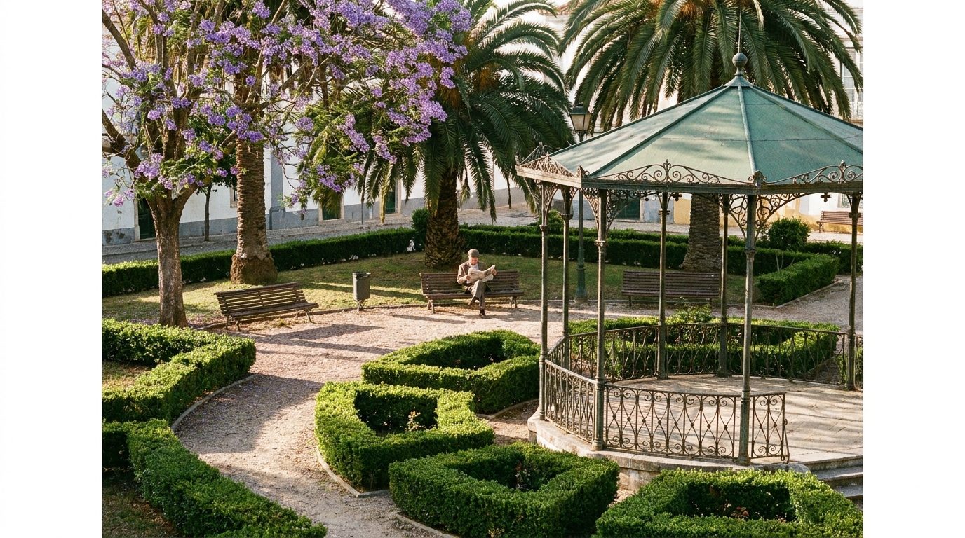
Start here, around 9:00, in the shade. The public garden is the gentlest possible introduction to the city: benches, birds, and Beja waking up around you. Take ten minutes; the route earns its climb slowly.
Open in Google MapsConvento de São Francisco
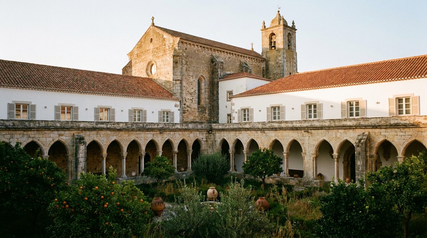
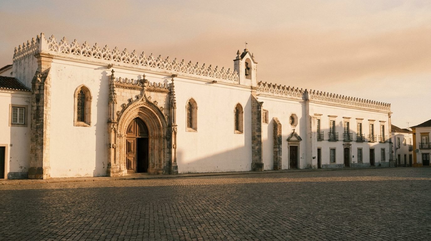
A short detour from the garden. Franciscan origins in the 13th century, later adapted as part of the Pousada, make this a look-from-outside stop: the scale, the cloister glimpsed through the entrance, and the first taste of Beja's habit of giving old buildings new jobs.
Open in Google MapsCoffee, water, and Roman Beja
Luiz da Rocha or Casa de Chá Maltesinhas
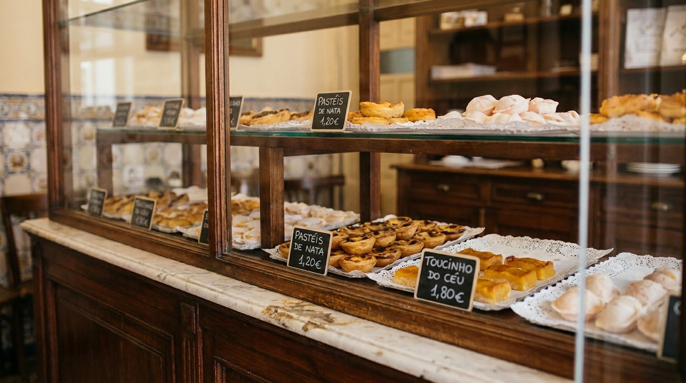
The practical pause, early on purpose: coffee, a conventual sweet, water bottles refilled, WC used. Luiz da Rocha is the classic counter; Casa de Chá Maltesinhas is the quieter tea-house option. Keep it to fifteen minutes.
Núcleo Museológico da Rua do Sembrano
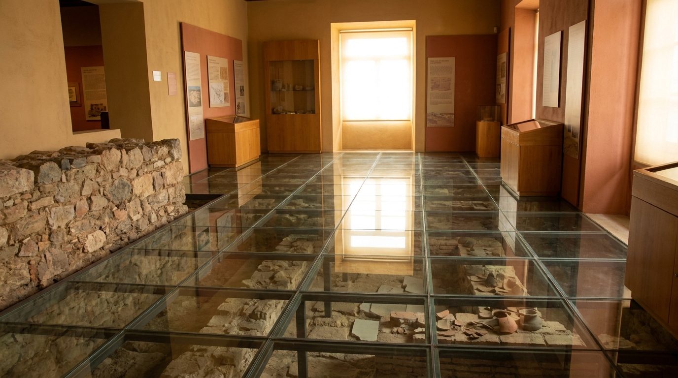
This is where Roman Beja gets explained. Deep archaeological layers run from prehistory onward, much of it visible through the floor, and together with the nearby forum finds it makes the route's central point: Pax Julia sits directly under the streets you are walking.
Open in Google MapsConvent Beja on the way up
Museu Rainha D. Leonor and the Convento da Conceição
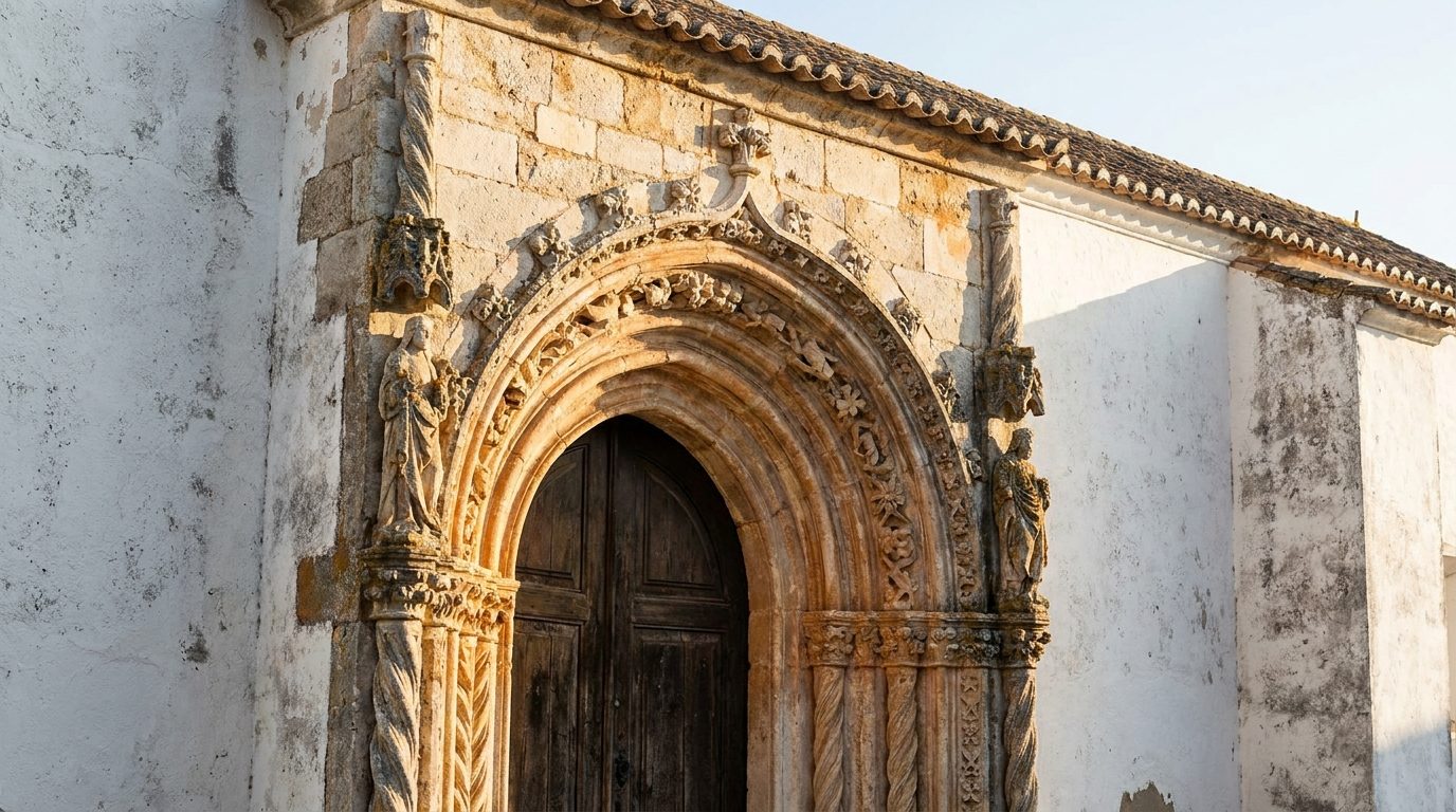
The former Convent of Nossa Senhora da Conceição is bound up with Soror Mariana Alcoforado and the Portuguese Letters, one of the stories Beja is best known for abroad. The museum is currently closed, so read the building from the outside: the facade, the scale, and the way an important convent sits in an ordinary neighbourhood.
Open in Google MapsIgreja de Santa Maria
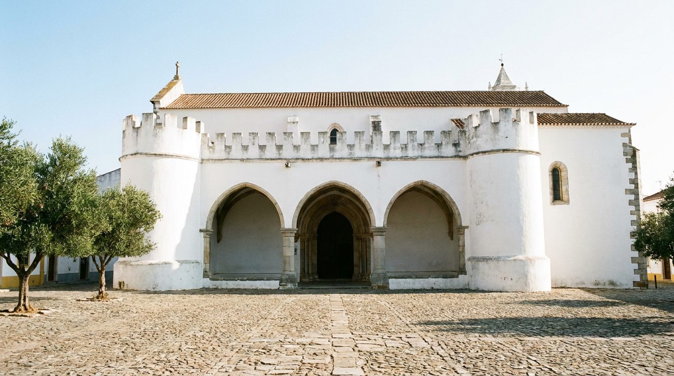
One of Beja's oldest churches, with a long religious sequence on the site. Try the door: if it is open, a few minutes inside are worth it; if not, the building reads from the square as something that has been many things.
Open in Google MapsGaleria D. José do Patrocínio Dias
Inaugurated in 2019 and connected to Bishop José do Patrocínio Dias, Bishop of Beja from 1922 to 1965. Take it if the door is open, and skip it without loss if not.
Open in Google MapsForno da Ti Bia Gadelha
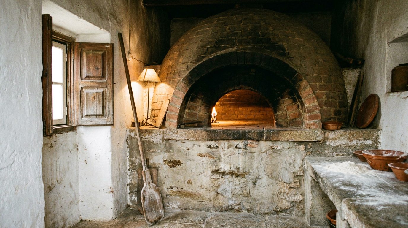
A community bread oven where households brought home-kneaded dough to bake. It closed in the 1960s, was later restored, and was revived in 2025. If it is open, it is a two-minute window into everyday Beja; if not, walk on.
Open in Google MapsThe cathedral and the castle climax
Sé Cathedral
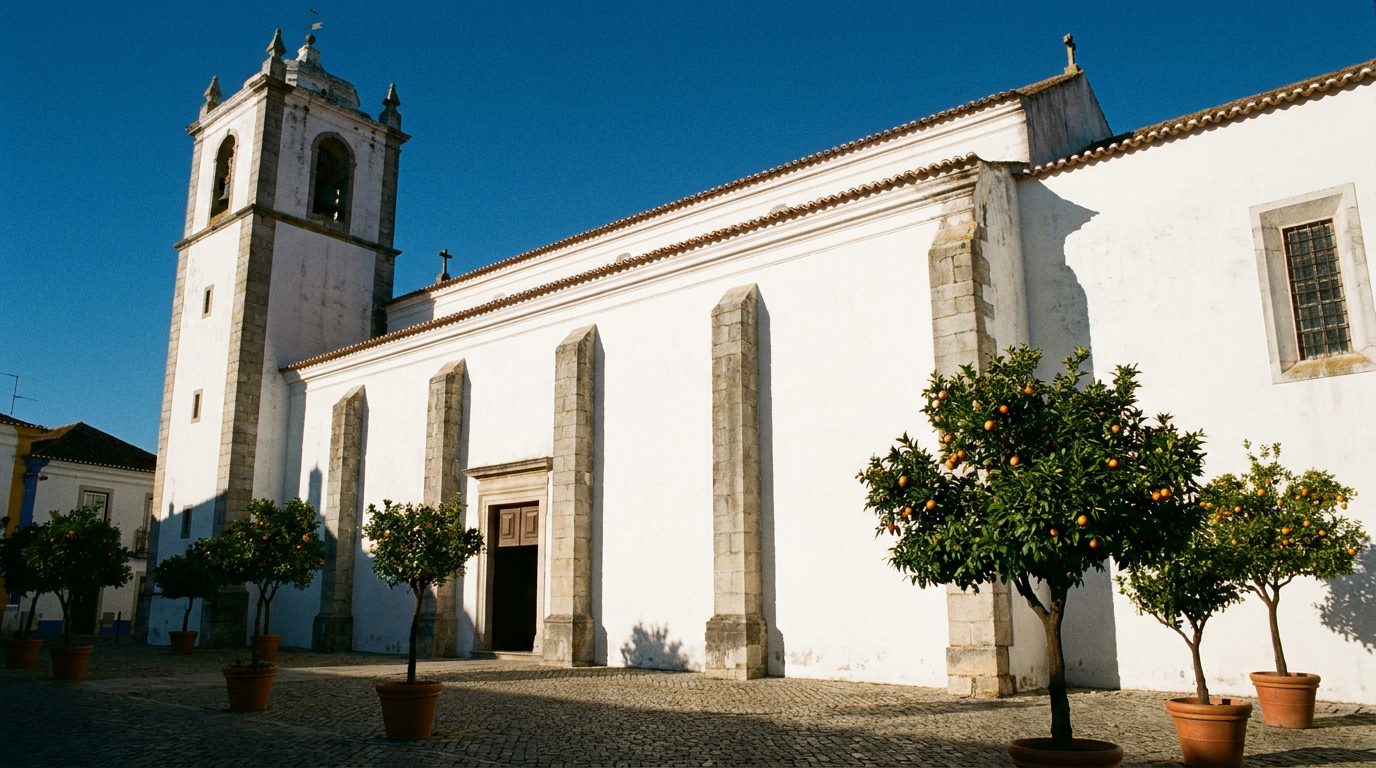
The medium stop before the finale. The cathedral began life as the Igreja de Santiago Maior and only became a cathedral in the 20th century, when Beja regained a bishop. It anchors the high part of the city, and the castle is two minutes away.
Open in Google MapsCastelo de Beja and the Torre de Menagem
The climax of the morning, reached before the strong heat if you kept the pace. The site carries long occupation, from Roman Pax Julia through medieval defence, and the tower, almost 40 metres of it, is a Monumento Nacional. From up there, the walk arranges itself: church towers, white streets, and beyond them the Alentejo plain, the planicie, running flat to the horizon.
Open in Google Maps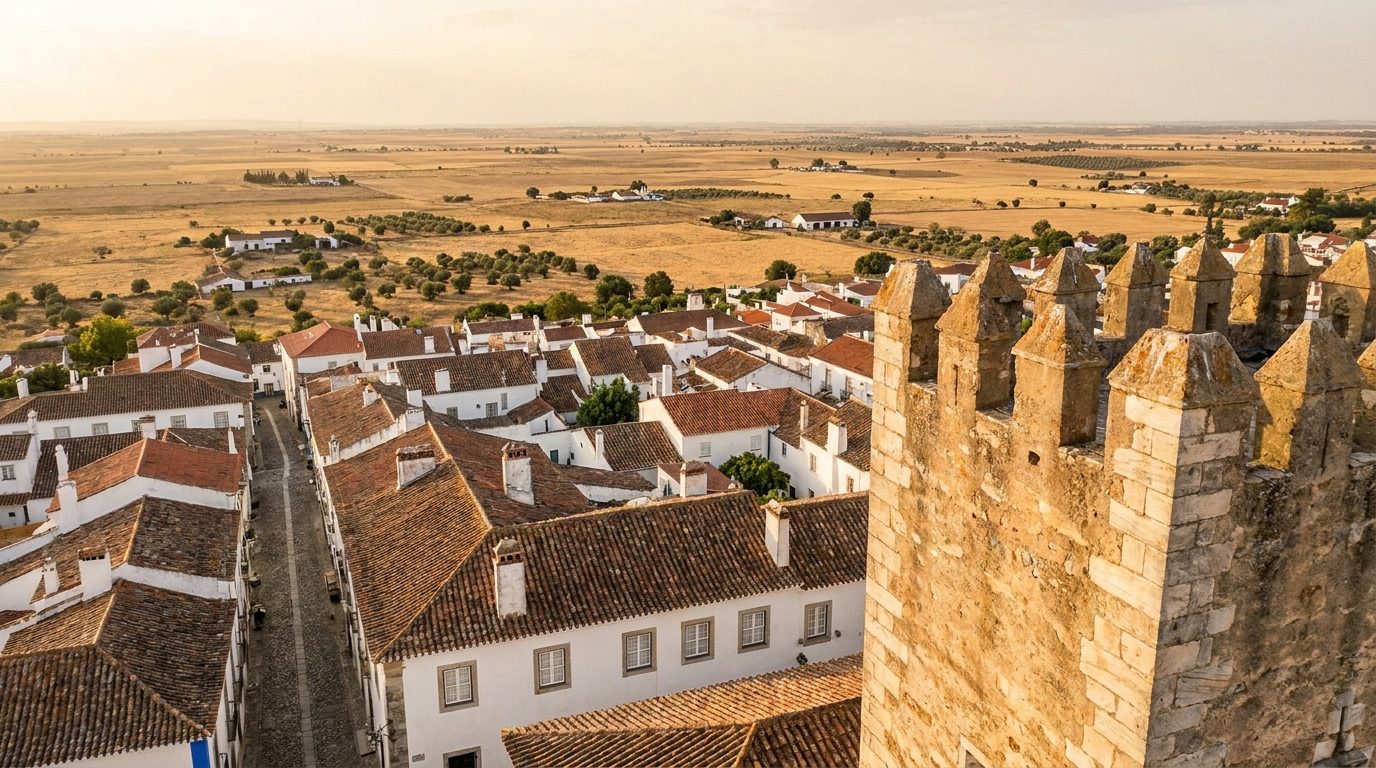
Lunch: D. Dinis or Adega 25 de Abril
Downhill from the castle, about 5 minutes walking.
Come down from the castle straight to the table. Both are traditional Alentejo houses, and both fill up: aim to arrive by 13:00, and check opening days before you set your heart on either.
D. Dinis
Open in Google MapsAdega 25 de Abril
Open in Google MapsDeliberately free
In summer, Beja itself takes the afternoon off. A pool if your stay has one, a rest at the hotel, an honest sesta. Come back out at the end of the day, when the light softens and the esplanadas fill, and have a slow cafe.